It’s getting late in the year, and I wanted to try and get a route in with a bit of serious mileage before it became prohibitively cold to bivvy. I wanted something I could get to (and get away from) by public transport, and ideally something linear, rather than circular.
The first section of Offa’s Dyke gave me all those options. A Welsh coast to coast on the English/Welsh border starting at Prestatyn and ending in Chepstow. Whilst not a technically challenging route, it does go through a variety of terrain, from road walking, fields and woodland to some remote hill walking. In most cases, you’re no more than a few kilometers from some form of civilisation.
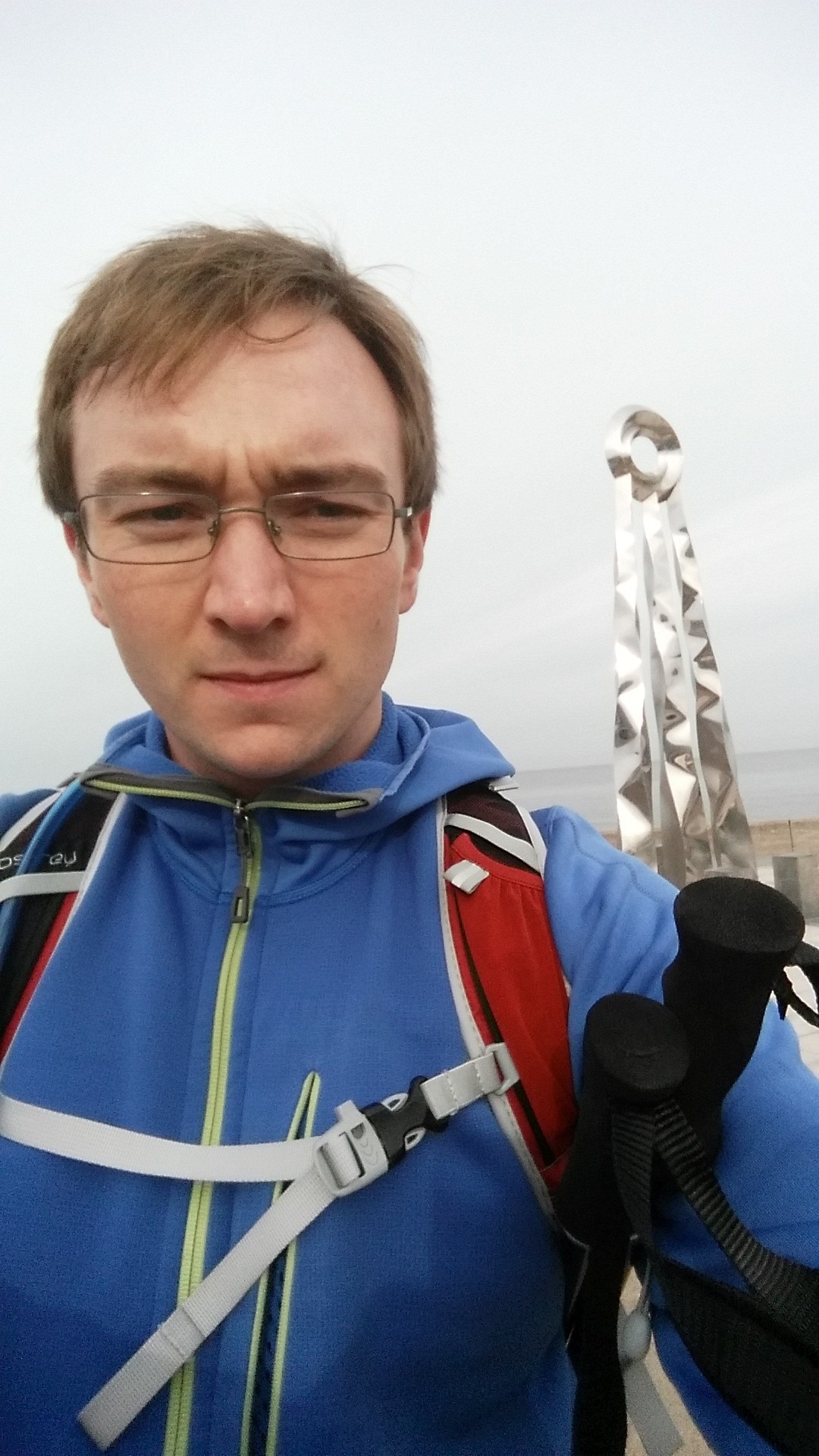
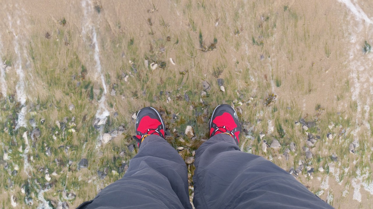
So on Saturday, with a good weather forecast, I packed the bag and caught a train to Prestatyn. A couple of hours from Bolton, it gave me a chance to catch up on some reading. The start of the path is on the coast, around a kilometer from the train station. I wandered up there, ceremoniously dipped my toes in the water and took a selfie with the sun sculpture before starting off.
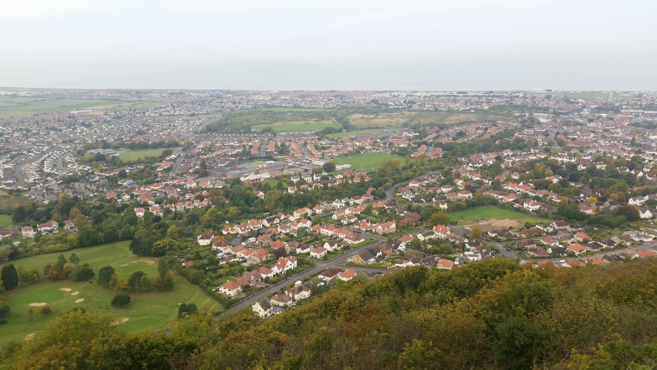
The start of the route takes you through Prestatyn’s high street before emerging through the gardens until you’re skirting around overlooking the town and coast. It’s a pleasant way to start the walk, and makes a very gentle start. Around Tan-yr-allt, only a few kilometers in, a runner had taken a tumble and damaged his ankle. We spent a hour getting him down, using my sticks for assistance, and then returned back to the route and carried on.
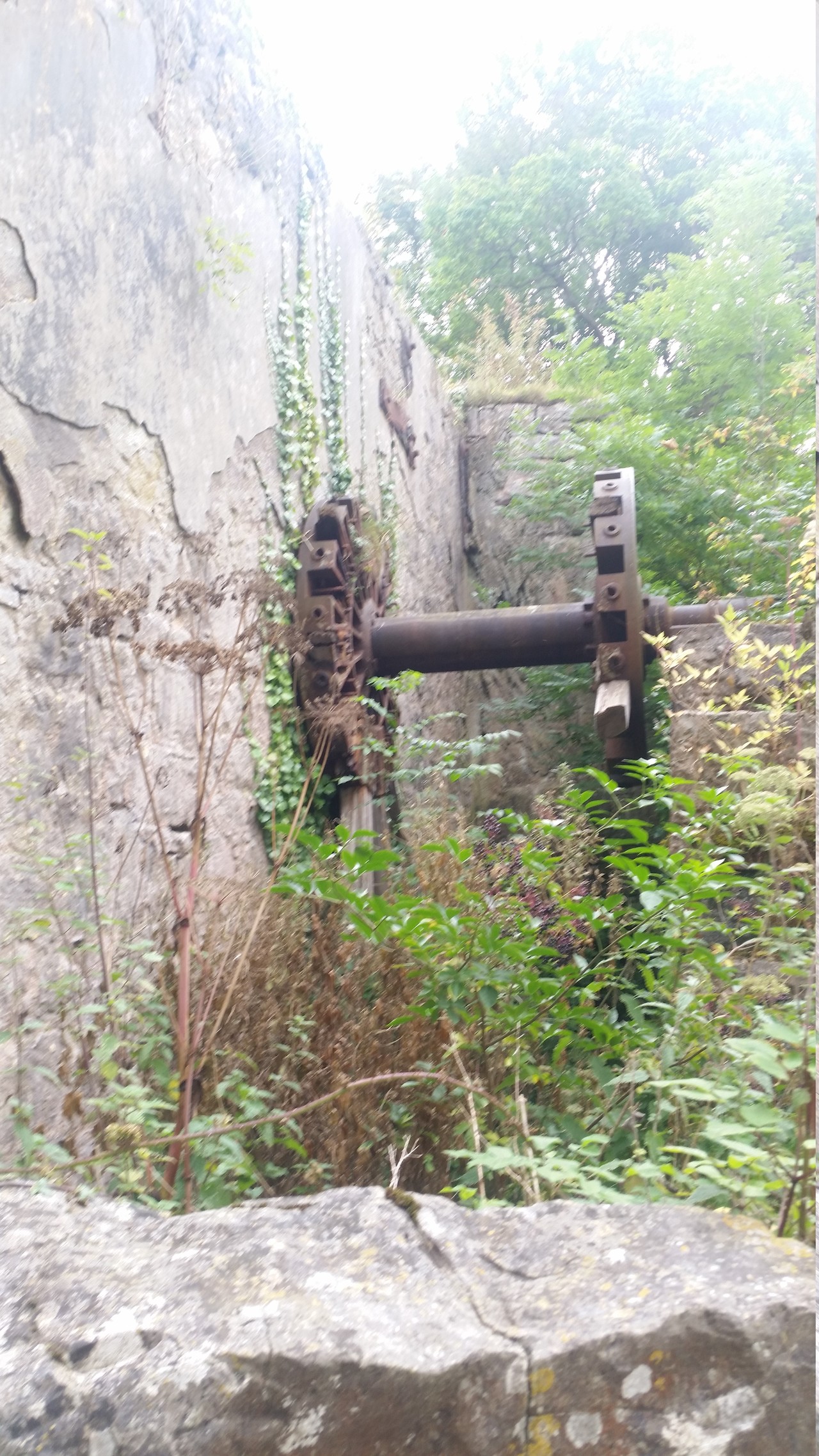
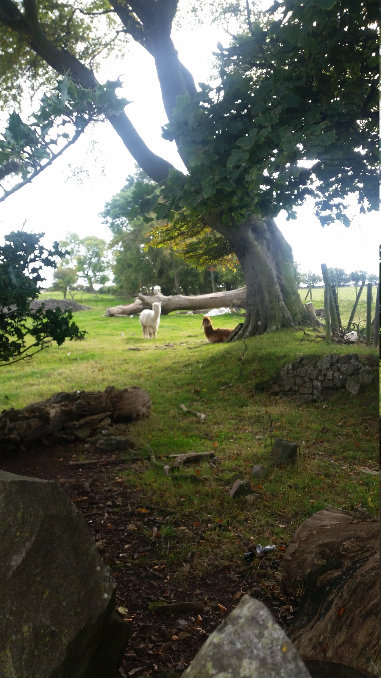
My objective for day one was to get to Jubilee Tower to bivvy overnight. That was pushing it a bit at 20 miles, especially with a one hour diversion, so I upped the pace and yomped hard for the next six hours. This section of the walk sees a lot of road walking which whilst good for speed, is not too grand on the knees. I did get to see the return of a grouse shooting party, and pass by a few ruined buildings. At one point, I tripped over a grouse. They were everywhere.
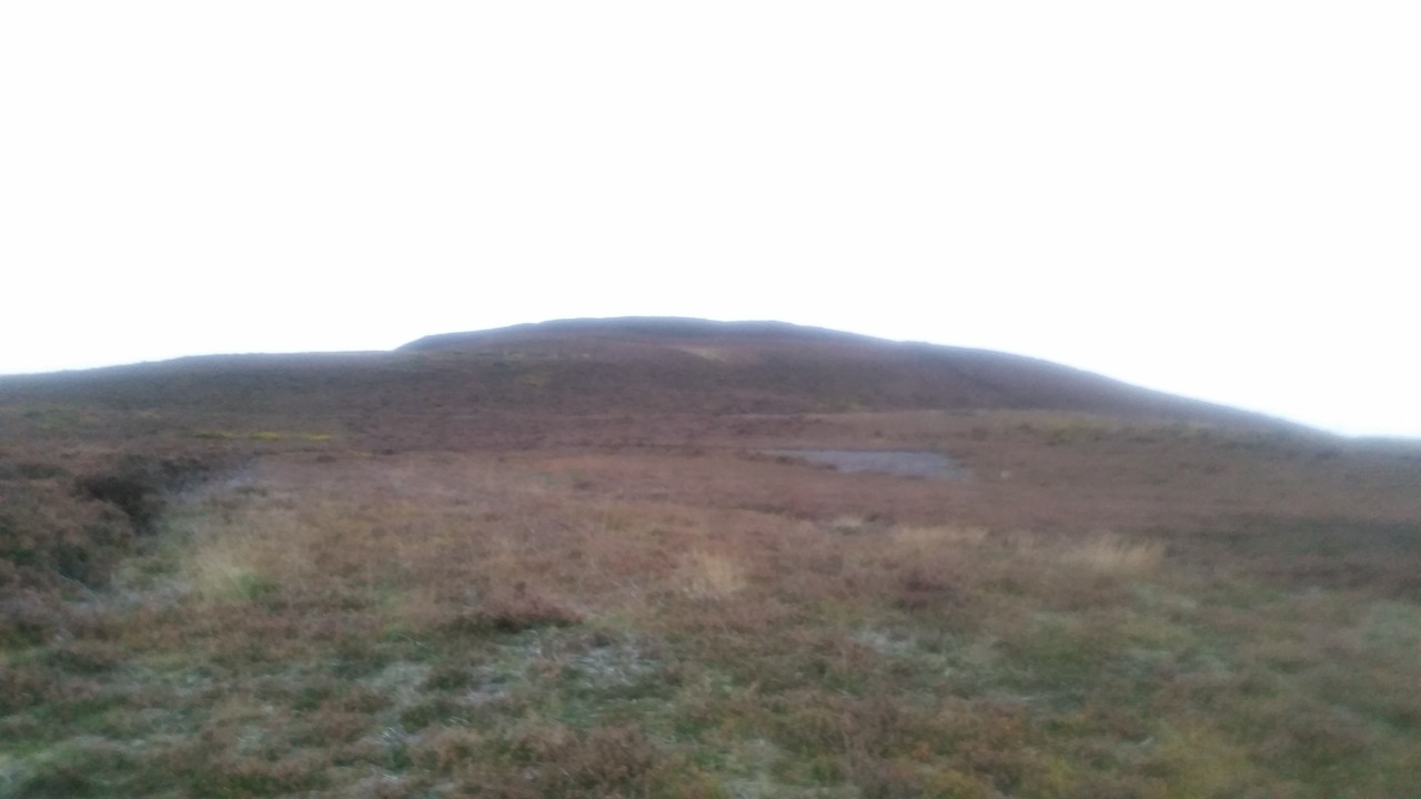
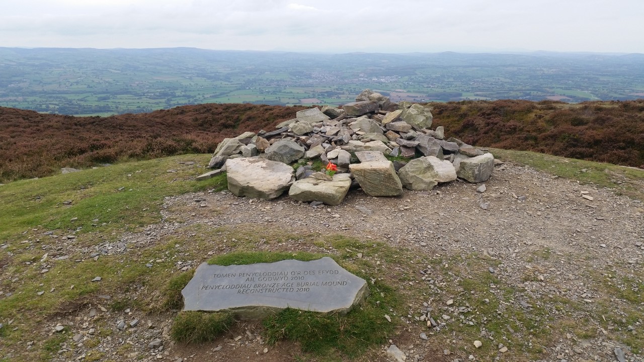
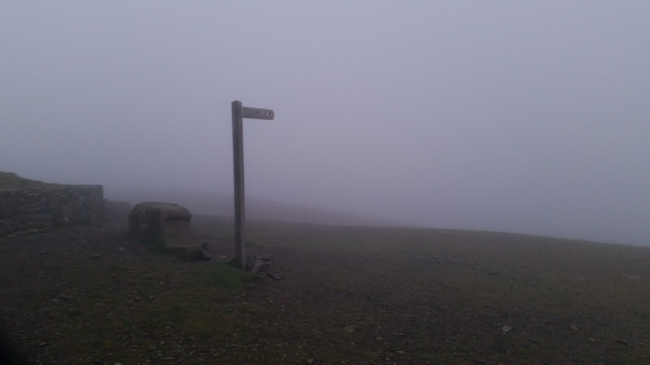
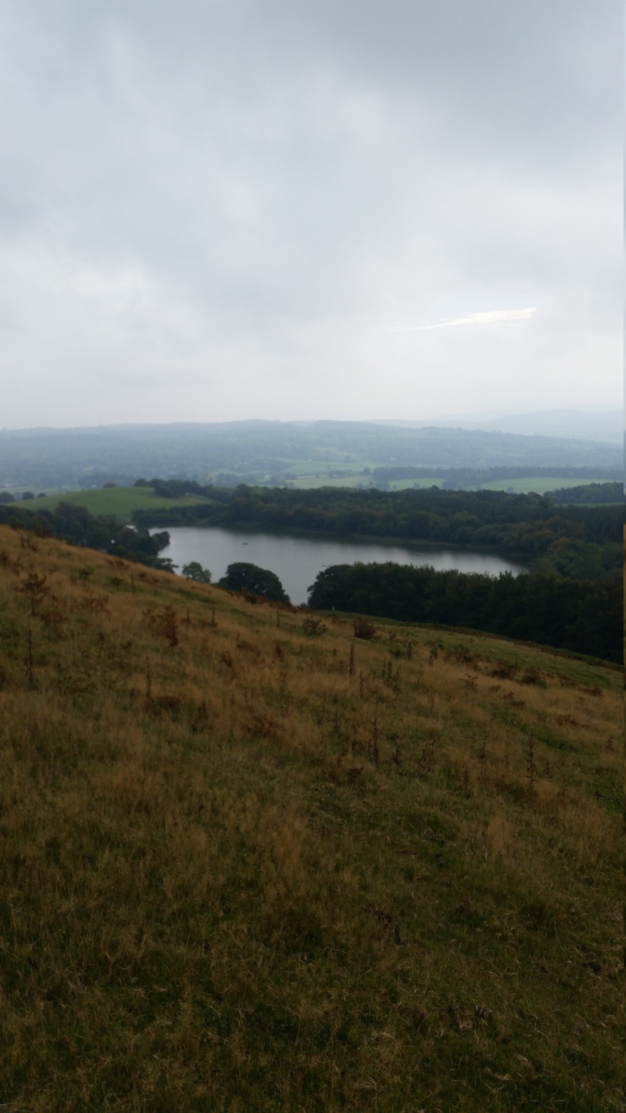
At Moel-y-Parc we started to leave civilisation behind and moved on to open hills. The Offa’s Dyke path passes around most summits, with little spurs allowing you to ascent to the summits before returning to the path. I stopped for a few minutes at Penycloddiau, before pushing on hard past Moel Arthur (which was a shame, but it was starting to get dark) and on to Moel Famau. Darkness was dropping quickly, so it was on with the head-torch whilst I was hunting for Jubilee Tower. The path was clear, but the last kilometer felt like eternity, and I was continuously worried I had missed my target for the night.
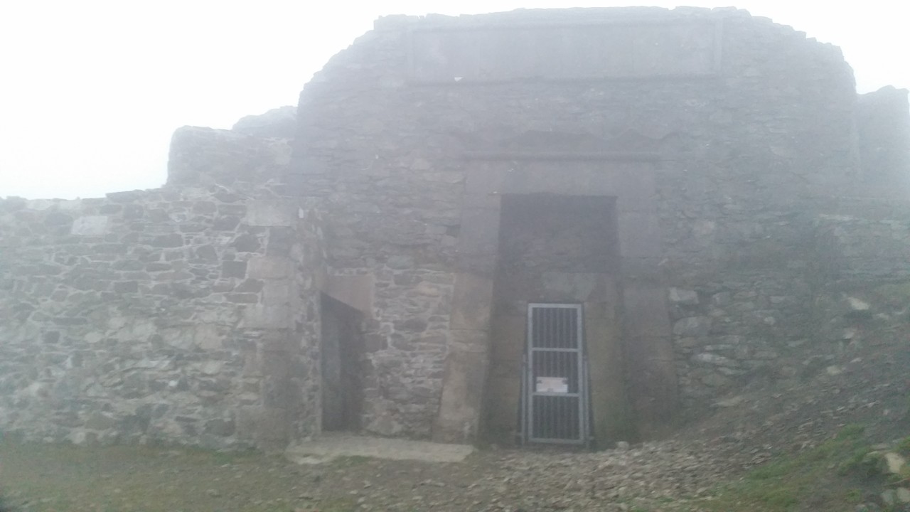
I needn’t have worried. The bloody thing is massive. Arriving, I attempted to cook dinner and found the temperature a little cold for my meths stove to work properly. Nevertheless I got enough just-above-warm water from a 900ml pot for a shepherd’s pie, extra mash and a cup of tea. At this point, heaven on earth.
A quick clean and in to the bivvy and sleeping bag before 10pm, sheltered by the bulk of the tower. It remained dry overnight, but somewhere around midnight the clouds descended, the temperature plummeted and the wind howled up. Sleep wasn’t coming easily, and the night consisted of broken sleep around an hour at a time. Around midnight, a group of scousers turned up to the tower, and one of the younger, giddier ladies screamed when she found a sleeping person at the foot of the tower.
Sleeping was a bit fitful, but when the wind died down at four and the temperature increased a bit, I managed to grab a couple of solid hours. At half seven I was woken by an early morning runner in t-shirt and shorts with a pair of dogs. Rules of fell running clearly applied, since under no other circumstances would that level of clothing have been considered adequate. We had a natter for a while before he moved on, and I decided it was too bloody cold to be lying around. I decided to postpone breakfast and get a shimmy on. Today’s plan was for another 20 miles to take me to Llangollen, and I was on a rather tight schedule to make it in time for the bus.
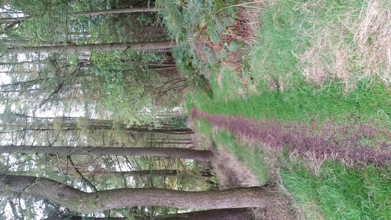
The second day’s walking was distinctly different to first. Whilst covering more hill-ground and less roads, there was less of the continuous ascent and descent that had marked the first day, and I maintained a steady-ish 440m height. Somewhere around Moel Llanfair I was feeling a bit flat, and decided that I didn’t need to push to Llangollen if I didn’t want to. So, a quick check of the map, a look up of bus times, and I decided to stop at Llandegla instead. Happy with the decision, my step was a little lighter. Just past Moel-y-plas, I came across several groups of teenagers seperated by a few minutes, all making traditional teenager walking pace (fast pace, stop, crawl, stop…). I couldn’t decide if they were Scouts or DofEers, and they didn’t look to be in much of a talking mood (more of a early morning teenager mood). At Tyddyn-tlodion I stopped and nattered with two leaders, turns out they were DofE bronzers on their practice walk.
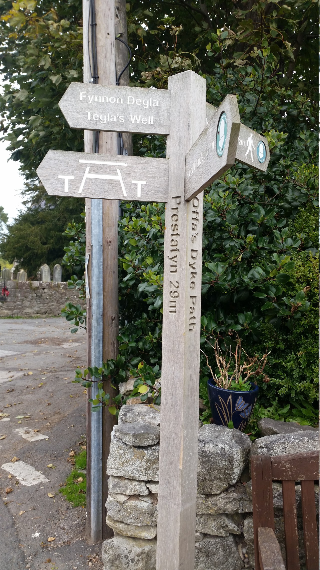
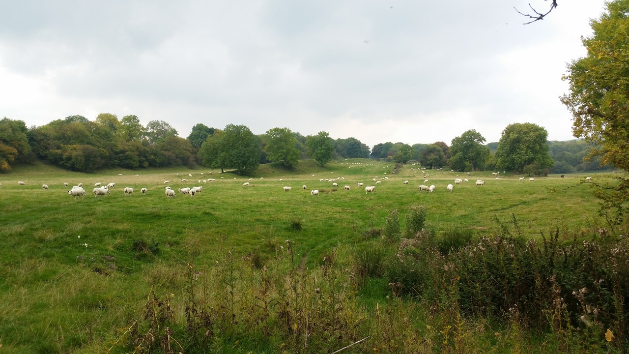
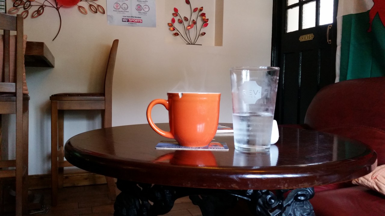
The last couple of kilometers were gentle enough over fields, following a brook in to Llandegla. I took a short rest on a bench outside of a church whilst I attempted to find the location of The Crown pub, the departure point for the bus to Wrexham. I asked the first person coming out of the church for directions, an elderly gentleman who was holding a DVD of the 1982 biopic, “Ghandi”. He pointed me in the right direction, and off I went. I arrived at the pub with an hour to spare, and asked for a pint of lemonade and the biggest mug of tea they had. The lady took one look at me, and offered me one of the staff mugs rather than one of their normal tea cups. Lemonade disappeared in a few seconds, and the tea took a little longer. Argentina absolutely trounced Namibia, although they did get a few tries in.
 There are no ads on this blog and as far as I can remember, never have been.